Geographic Information System
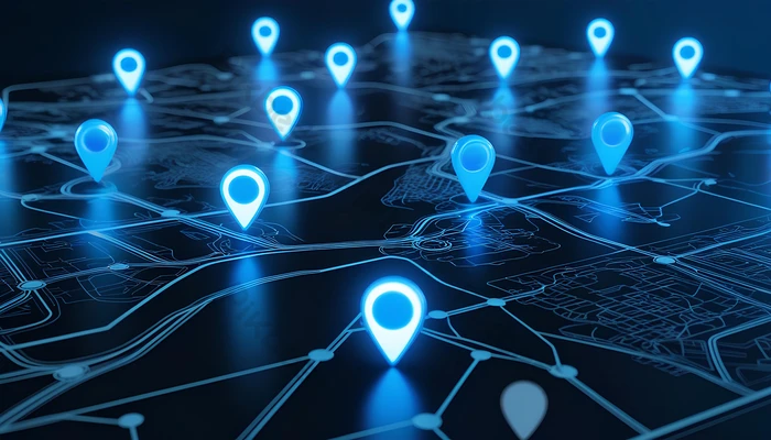
A Geographic Information System (GIS) is an information technology system that enables the storage, manipulation, analysis, and visualization of data with a geographic component, also known as geospatial data. This type of data links information to specific locations on the Earth's surface, such as coordinates, addresses, or regions.
GIS is crucial for faceless®, our interactive platform, as it enhances the ability to analyze health data across various geographical areas. By integrating GIS into our system, faceless® can provide users with deeper insights into health trends, comparing data across different regions or demographics. This enables our members to view not just raw data, but spatially-referenced information, helping them understand how health outcomes vary geographically and identify potential hotspots or patterns. Through GIS, faceless® supports more informed decision-making, allowing users to explore health data in the context of their surroundings, be it local, national, or global. This is especially important for addressing health disparities, tracking disease outbreaks, and planning interventions at the community or global level.
Technologies
faceless® will utilize geospatial technology from ESRI, the global market leader in geographic information system (GIS) software, location intelligence, and mapping. ESRI’s geographic approach to problem-solving is brought to life by modern, enterprise-grade GIS technology. faceless® GIS maps and database will be interactive for its users.
GIS integrates many types of data. It analyzes spatial location and organizes layers of information into visualizations using maps and 3D scenes. With this unique capability, GIS reveals deeper insights into data, such as patterns, relationships, and situations helping users make smarter decisions. GIS data visualization display and decision are important aspects of all data produced by the faceless and GeoHealth system.